
Flying drones near YOW

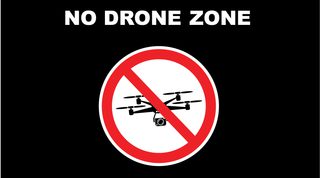
The sky over and around an airport is controlled airspace.
Knowing and following the rules when piloting a drone is an important part of keeping the skies safe for all aircraft to navigate.
Drones are considered aircraft under the Aeronautics Act and Canadian Aviation Regulations and are therefore prohibited to enter certain zones without the proper authorizations.

The National Research Council has created this interactive map to help drone operators understand airspace and find out where to – or not to – fly their drone.
NAV Drone
NAV CANADA is a private, not-for-profit entity that controls air traffic in Canadian airspace and guides millions of aircraft to safely navigate the skies each year.
NAV Drone is a free app that remotely-piloted aircraft system (RPAS) pilots must use to safely and legally request permission to fly a drone in airspace controlled by NAV CANADA.
From the web or a mobile device, professional and recreational drone pilots and operators can easily see where they can and cannot fly with interactive maps and, when needed, submit requests to fly in controlled airspace.
RPAS Wilco
The Airport Authority uses the RPAS Wilco tool to view drone operations around YOW and the Ottawa-Gatineau area.
This tool simplifies the requirement for drone pilots to notify the airport operator of their intent to operate a drone near the Ottawa Airport.
When users submit their site survey through the free RPAS Wilco app, the Airport Authority is instantly notified, requiring no direct communication between the pilot and the Airport.
If you require advanced features for enterprise-level operations, please reach out to RPAS Wilco directly to unlock the necessary capabilities for your daily operations.